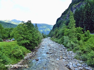
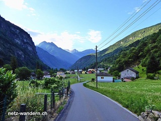
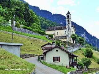
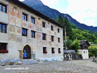
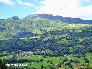
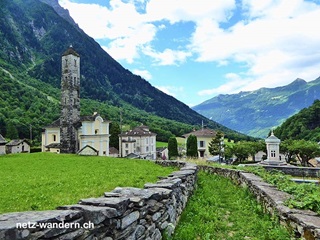
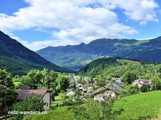
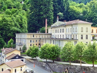
Dongio - Acquarossa - Lottigna - Torre - Dangio - Aquila - Olivone
Angaben zur Wanderroute
Kurzbeschreibung Route: Dongio, Piazza (Bus) - Roccabella - Corzoneso Piano, Scaradra (Bus) - Pozzo - Stallaccia - Acquarossa - Sciarina - Moncucco - Soriascia - Petiranch - Lottigna - Lottigna, Palazzo del Pretorio - Terzeghin - Grumo - Ri - Rodà - Torre, alla Baracca (Bus) - Torre - Torre, Kirche - Torre-Dangio, Schiessstand San Salvatore - Ruderi del Castello di Curtero - Dangio, Paese (Bus) - Dangio, Chiesa (Bus) - Asilo - Aquila - Aquila, Kirche San Vittore - Aquila, Pezz - Ponto Aquilesco - Süi Riu - Tècc Sgne - Olivone, Kirche - Olivone, Scuole (Bus) - Olivone, Giàira - Olivone, Posta (Bus)
Kanton: Tessin TI | Region: Tre Valli | Gemeinden: Acquarossa TI, Blenio TI
- Wander- / Wegbeschreibung (PDF-Datei)
- Wanderroute (KML-Datei)
- Wanderroute (Direktimport in Swisstopo-App. Voraussetzung: App auf Smartphone / Tablet installiert)
- Karte/Route (Ansehen / Ausdrucken in SchweizMobil. Als Abonnent/-in SchweizMobil Plus Import in eigene Tourenliste möglich)
Informationen zum Wandervorschlag
Start- / Zielort
- Start: Dongio, Piazza (Bus / TI)
- Ziel: Olivone, Posta (Bus / IT)
Wanderdaten
- Gehzeit: 4h10 (retour: 3h45)
- ↦ 14,2 km | ↑ 695 m | ↓ 285 m
- min. 480 m.ü.M. | max. 907 m.ü.M.
Schwierigkeitsgrad
- Technik: leicht (T1, Wanderweg gelb)
- Kondition: mittel (Gehzeit, Länge, Hm aufwärts)
Jahreszeit
- ca. März bis Oktober
Highlights
Verpflegung / Unterkunft
- Blenio TI: Della Valle (Pizzeria, 076 306 74 38)
- Aquila TI: Centrale (Ristorante, 091 872 10 71)
- Olivone TI: Al Lucomangio da Daniele (Ristorante, 077 956 24 31)
- ... oder Verpflegung aus dem Rucksack
Webcams / Wetter
- Webcams: ---
- Wetter: Dongio TI (SRF Meteo)
Wanderkarten
- Swisstopo Landeskarten 1:25000
Nr. 1253 Olivone & Nr. 1273 Biasca - Swisstopo Wanderkarten 1:50000
Nr. 266T Valle Leventina
OeV-Haltestellen
- Dongio, Piazza (Bus / Start)
- Corzoneso Piano, Scaradra (Bus / Route)
- Corzoneso, Roccabella (Bus / Route)
- Acquarossa, Casa Anziani (Bus / Route)
- Lottigna (Bus / Route)
- Torre, alla Baracca (Bus / Route)
- Torre, Paese (Bus / Route)
- Dangio, Paese (Bus / Route)
- Dangio, Chiesa (Bus / Route)
- Aquila, Paese (Bus / Route)
- Olivone, Posta (Bus / Ziel)
Bewertung
- sehr empfehlenswert = ★★★★☆
Wandertipps in der Nähe
- Biasca - Malvaglia - Dongio (309o1)
- Olivone - Campra - Lukmanierpass (312o1)
gewandert: Juni 2015
aktualisiert: Wanderroute - 06/2015 | übrige Infos - 01/2018
letztes Update: 23.03.2024

